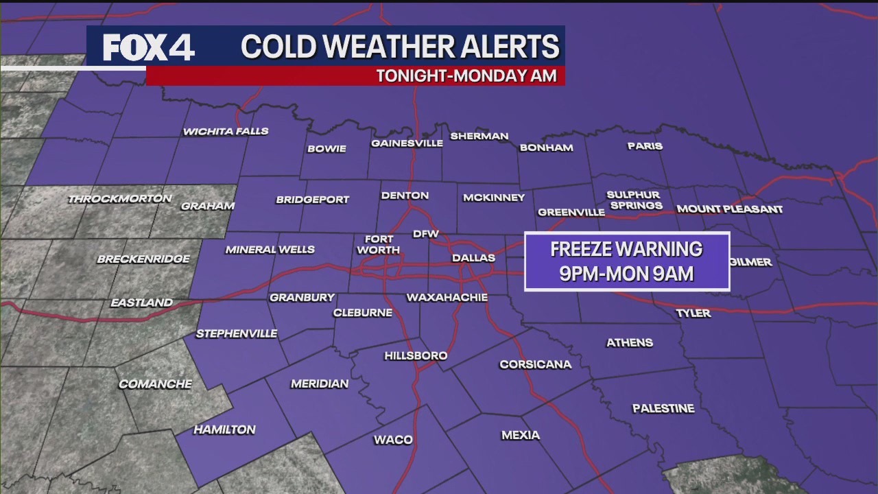
URGENT UPDATE: A Freeze Warning is now in effect for nearly all of North Texas, starting at 9 p.m. Sunday and lasting until 9 a.m. Monday. The National Weather Service has escalated Saturday’s Freeze Watch to a formal warning as the coldest air of the season surges into the region.
Residents are advised to take immediate action to protect vulnerable plants and bring pets indoors. As temperatures plummet, exercise caution and dress in multiple layers if you must go outside late tonight or early Monday morning.
Strong northerly winds are exacerbating the sharp temperature drop. Sustained winds will be between 15 and 25 mph, with gusts potentially reaching 30 to 35 mph. This will contribute to a significant wind chill factor, making it feel even colder throughout the evening and into the night.
Temperatures began today in the upper 40s and low 50s, but are expected to peak just shy of 60 degrees for most areas. Overnight lows are projected to dip near or just below the freezing mark of 32 degrees Fahrenheit in the immediate Metroplex, while outlying areas like Denton and Collin counties may experience temperatures in the upper 20s.
The biting wind chill will make it feel like temperatures are in the upper 20s to low 30s, with some locales experiencing “feels like” conditions in the mid-20s.
Fortunately, this cold snap will be short-lived. High pressure moving in from the west is expected to shift temperatures upward by Tuesday, with highs rebounding into the mid to upper 70s and even low 80s by late week and into the weekend.
Residents should stay alert for this quick weather change, as a low chance of rain and thunderstorms may return next weekend. Stay safe and be prepared for the cold!