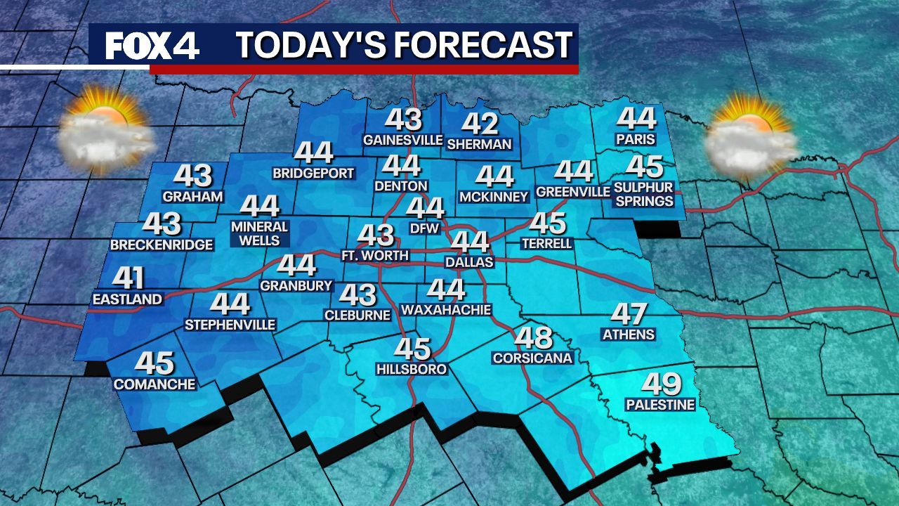
UPDATE: A powerful cold front swept through Dallas on Thursday, January 25, 2024, delivering frigid wind chills and scattered rain. Early morning temperatures plunged below freezing, with Possum Kingdom Lake reporting a low of 29 degrees and Dallas dipping to 34 degrees.
This sudden drop has led to wind chills in the 20s across much of North Texas, with some areas experiencing “feels like” temperatures in the upper teens. The strong winds are exacerbating the cold, making conditions feel even more severe for residents venturing outside.
As the cold front continues east, significant travel disruptions are anticipated across the Southeast, Mid-Atlantic, and Northeast, where rain is transitioning to sleet and snow. Meanwhile, an upper-level low over the Great Lakes is expected to cause continued snowfall in that region.
Looking ahead, North Texas is poised for a slight reprieve from the harsh conditions. Forecasters anticipate a warming trend beginning early next week, with temperatures expected to rise above freezing, preventing any wintry precipitation. Isolated showers may develop on Monday, but rain chances remain low at about 20 to 30 percent.
The upcoming Tuesday and Wednesday forecast indicates a gradual warm-up, with highs reaching the 50s on Tuesday and nearing 60 degrees on Wednesday. However, residents should prepare for another strong system to arrive on Thursday, signaling a return of widespread rain and thunderstorms before drier conditions set in for Friday.
Despite the fluctuating temperatures, experts emphasize that the overall trend will feature more cold days than warm ones throughout the week. Fortunately, the following weekend is expected to bring calmer weather with near-normal temperatures, offering some relief to those braving the current chill.
Stay tuned as conditions develop throughout the week. Residents are encouraged to monitor local weather updates and prepare for potential travel impacts as the cold front moves through the area.


