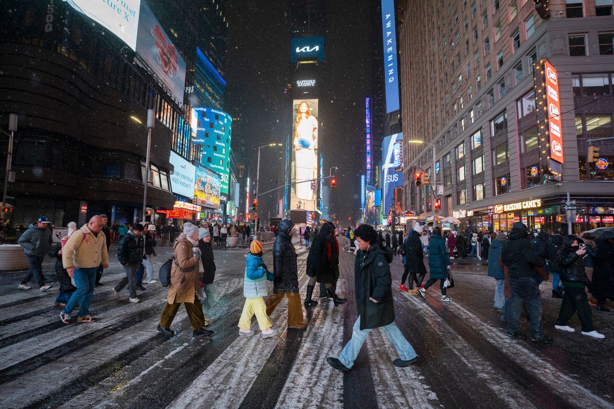
UPDATE: New York City braces for a frigid New Year’s Eve as forecasts predict the coldest ball drop in nearly a decade. Around 1 million people are expected in Times Square to celebrate, with temperatures expected to plummet to around 30°F by midnight.
As the city prepares for the countdown to January 1, 2026, the National Weather Service warns that conditions could feel much colder due to strong westerly winds of 10-15 mph. Meteorologists indicate that wind chill could make it feel like the teens to 20s, prompting those attending to dress warmly.
“If the weather pans out as forecast, the midnight temperature will be the coldest since the cusp of 2017 and 2018, when it was a frigid 9°F,” said Jesse Ferrell, AccuWeather Social Media Producer and Meteorologist. Officials recommend finding sheltered spots along 7th Avenue or Broadway to avoid exposure to the biting wind.
Compounding the chill, a wave of low pressure is set to bring light snow to the city, with flurries expected between 9 PM and midnight. “Snow could mix with the confetti at the stroke of midnight,” Ferrell added, noting that if snow accumulates during the ball drop, it will be the first significant snowfall on New Year’s Eve since 2009.
Travelers are urged to exercise caution as light snow could create slippery conditions on highways, particularly on Interstates 78, 80, 81, and 90. Those coming from the north and west may face the greatest risk of delays.
The potential for snow extends beyond the city. A weak storm forming offshore could affect parts of Long Island and southeastern New England from Wednesday night into Thursday, with possible accumulations of up to 1 inch in New York City.
As New Yorkers and visitors gear up to celebrate, the combination of freezing temperatures and possible snowfall adds an element of urgency to the festivities. Make sure to stay updated on weather conditions as the countdown to midnight approaches.