Polynesian navigators have demonstrated remarkable expertise in long-distance sea travel, relying on traditional techniques that do not involve modern instruments. This ancient knowledge has been passed down through generations, allowing Pacific Islanders to traverse vast ocean distances with precision.
In May 1972, Richard (Rick) Feinberg embarked on a research expedition to Anuta, the easternmost inhabited island in the Solomon Islands. The island, measuring just half a mile in diameter and located 75 miles (120 kilometers) from its nearest neighbor, has maintained a culture where inter-island travel via outrigger canoe is a common practice. Feinberg’s journey included a bird-hunting trip to the uninhabited island of Patutaka, which took 20 hours to reach. This experience became a catalyst for his decades-long study of traditional Polynesian navigation methods.
Wayfinding techniques among Pacific Islanders are diverse and depend on geographical and environmental factors. Central to these techniques is the concept of mental mapping, where sailors navigate by visualizing their surroundings, including islands and potential destinations. They also track the movements of celestial bodies, ocean currents, winds, and waves.
Western fascination with Pacific voyaging has a long history. In 1768, French explorer Louis Antoine de Bougainville referred to Samoa as the “Navigators’ Islands.” British sea captain James Cook noted the agility and speed of Indigenous canoes compared to his ships and documented the navigational prowess of Tupaia, a navigator from Ra‘iatea. The interest continued with works like Te Rangi Hīroa‘s “Vikings of the Sunrise” in 1938 and Thor Heyerdahl‘s 1947 Kon-Tiki expedition, which highlighted the capabilities of Pacific mariners.
Despite skepticism from historians like Andrew Sharp, who claimed that accurate navigation without instruments was impossible, many researchers have provided evidence of these navigational successes. Notably, Thomas Gladwin’s “East Is a Big Bird” and David Lewis’ “We, the Navigators” have documented these ancient skills, further solidifying their credibility.
A significant milestone in experimental voyaging was achieved by the Polynesian Voyaging Society. In 1976, they launched the double-hulled canoe, Hōkūle‘a, constructed using modern materials but designed in accordance with traditional methods. Under the guidance of Micronesian navigator Mau Piailug, the vessel successfully sailed over 2,500 miles from Hawai‘i to Tahiti without instruments. In 2017, Hōkūle‘a completed a circumnavigation of the globe, showcasing the enduring legacy of Pacific navigation.
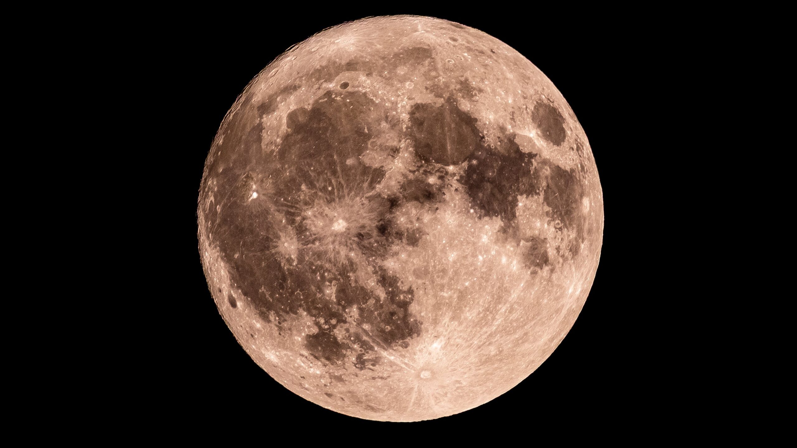
Despite the absence of magnetic compasses or GPS technology, Pacific voyagers rely heavily on celestial navigation. They observe the stars, which rise in the east and set in the west, to determine their heading. Navigators align their canoe with specific stars, adjusting for the seasonal changes in visibility and the stars’ movements. This method also requires an understanding of ocean currents and wind patterns, ensuring that the vessel stays on course.
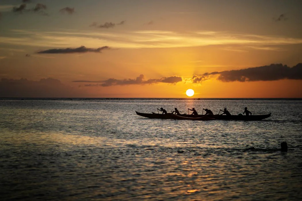
During daylight, the Sun serves a similar purpose, helping navigators to maintain their direction. Yet, when both celestial bodies are obscured by clouds, they turn to other natural indicators.
Understanding ocean swells is crucial for navigation. Swells are waves generated by winds blowing over long distances, and they maintain their direction regardless of local conditions. Navigators learn to differentiate between various swell patterns, allowing them to determine their heading even in darkness. As they approach their destination, they look for reflected waves, which indicate the presence of land, and rely on the behavior of birds to signal their proximity to islands.
The journey of Pacific navigators exemplifies a sophisticated understanding of their environment, honed through centuries of experience. Scholars have documented these methods, confirming their effectiveness and the cultural significance of such navigational practices.
Through the extensive research and personal experiences shared by Feinberg and others, the intricate relationship between Pacific Islanders and their maritime heritage becomes evident. The techniques honed by generations of navigators are not merely relics of the past; they continue to be relevant in understanding both the history and the future of navigation in the Pacific region.
This article is based on research by Richard (Rick) Feinberg, a scholar at Kent State University, and is republished from The Conversation, an independent news organization dedicated to providing factual and analytical insights into complex global issues.