UPDATE: Severe weather is wreaking havoc in New Orleans and surrounding areas as residents face a tornado watch and flash flood warnings, according to the National Weather Service (NWS). The dangerous conditions, which began early on July 16, 2023, have prompted officials to issue multiple alerts across several parishes.
Thunderstorms have unleashed heavy rainfall, generating potential tornadoes and flash flooding, significantly disrupting daily life. The NWS forecasts that areas could receive between 1 to 2 inches of additional rainfall, raising concerns for urban and low-lying regions.
As of 10 a.m. CDT, a tornado watch is in effect for nine parishes in Southeast Louisiana, including Jefferson, Orleans, and St. Tammany, along with five parishes in Southern Mississippi, including Hancock and Harrison. Officials urge residents to stay alert as conditions are expected to worsen throughout the day.
The NWS has warned that strong thunderstorms over Timberlane could produce funnel clouds and wind gusts exceeding 40 mph. These storms are moving northeast at 35 mph, impacting areas such as Chalmette and Marrero, as well as parts of Interstate 10.
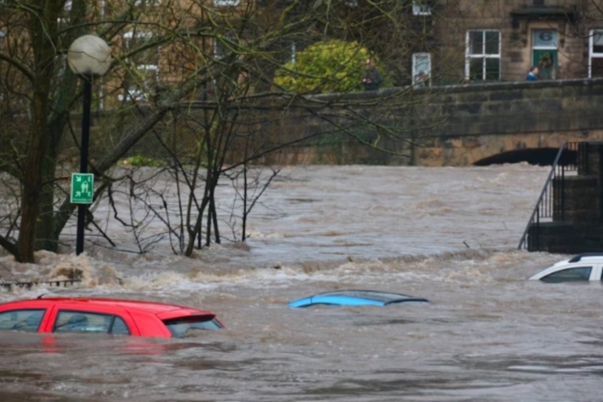
Flash flood warnings are in place for small creeks, streams, and urban areas, with authorities cautioning that flooding of streets and highways is likely. The public is advised to avoid flooded roads and take necessary precautions to ensure safety.
A broader Flood Warning is set to remain effective until 10 a.m. CDT, emphasizing the risk of overflowing rivers and drainage systems. A Flood Advisory is also active, highlighting potential minor flooding in low-lying areas with poor drainage.
Residents are advised to remain vigilant and stay tuned to official updates as this severe weather event unfolds. The NWS continues to monitor the situation closely, with additional thunderstorms anticipated later in the day.
As this urgent weather system develops, immediate action is essential. Stay safe and informed as authorities work to mitigate risks in the New Orleans area and beyond.