UPDATE: The Bay Area is bracing for its final round of rain as the National Weather Service (NWS) confirms that dry weather is on the horizon. Meteorologist Joe Merchant stated today, “We will eventually dry out,” although scattered showers linger across the region.
Residents experienced a surprising deluge on Monday, with rainfall totals far exceeding forecasts. Central San Rafael saw nearly 1.75 inches of rain, while Santa Cruz County recorded 1.66 inches. San Francisco received 1 inch, and Oakland recorded 0.75 inches. Such unexpected intensity highlights the slow-moving storm system that has gripped the region since Christmas.
The NWS had initially projected only a handful of moderate showers, but the final storm cells delivered significant rainfall before tapering off. “The dynamics that drove a lot of what happened on Monday were expected to be a lot farther south than they actually were,” Merchant explained.
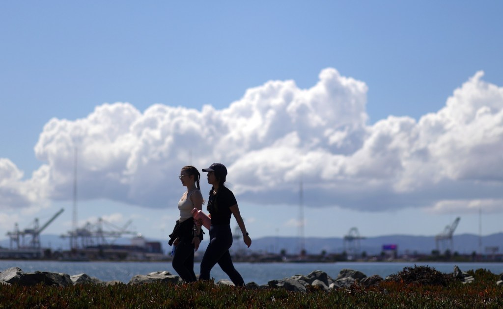
Today’s scattered showers will primarily affect areas near Monterey and San Francisco, delivering only light rain. However, these showers signal the last vestiges of a weather pattern that has brought consistent wet conditions.
Looking ahead: A significant shift to dry weather is anticipated, lasting at least a week. Daytime highs are expected to remain in the 50s, with overnight lows plunging into the 30s across various locations.
Additionally, while the king tides that coincided with the storm surge over the weekend have receded, the NWS warns that beaches will remain hazardous on Thursday and Friday, with breaking waves potentially reaching 20 feet.
Residents are urged to stay alert as the last showers roll through, and prepare for dramatically colder temperatures in the coming days. The transition to dry weather will be a welcome relief to many, following an unusually wet spell that has affected daily life across the Bay Area.